In a notable step forward for American geoscience, the U.S. Geological Survey (USGS) has unveiled a new mapping resource named The Cooperative National Geological Map. This cutting-edge application brings together over 100 geological maps of the contiguous United States, establishing the first national-level geological tool of its sort. The map is intended for various applications, including educational, industrial, and governmental, and is available to the public at no cost. It is anticipated to serve as a crucial resource for hobbyists, educators, and professional geologists.
The USGS aims to tackle several scientific, industrial, and public safety issues through this resource, as geological mapping is essential for delving into ancient questions surrounding Earth’s history and evolution. Beyond scientific explorations, the data from the USGS tool is critical for addressing economic, energy, public safety, and infrastructure concerns in the U.S. This tool may play a pivotal role in improving disaster preparedness, real estate development, water management, and mineral exploration.
To access the map, users can visit the Cooperative National Geological Map website, which is optimized for both desktop and mobile use. The application is free of charge and does not necessitate personal information or login credentials. Additional resources are provided via the USGS’s National Geological Map Database and its catalog. The map is designed to serve various users, such as classrooms, city planners, government entities, and water utility firms. It features an intuitive interface, a help guide, explanatory notes, and a search capability, ensuring accessibility for users of all ages and skill levels.
The map comprises four geological map layer selectors: Earth Surface, Quaternary, Pre-Quaternary, and Precambrian. These layers enable users to filter results based on particular geological characteristics, material types, or time intervals. For instance, the Earth Surface layer showcases the top surface geologic topography of the nation, while the Precambrian period displays ancient “basement” rock formations. Users can also personalize the map’s display style and conduct refined searches using further filters.
The creation of this map signifies a considerable advancement in the USGS’s capacity to disseminate and gather geological information. The database was developed in merely three years, thanks to automated tools that integrated regional, state, and national geological survey maps. This efficiency enables the USGS to refresh its maps promptly as new discoveries occur. A study by the American Geosciences Institute indicates that geological maps produced between 1994 and 2019 generated economic advantages ten times their production costs.
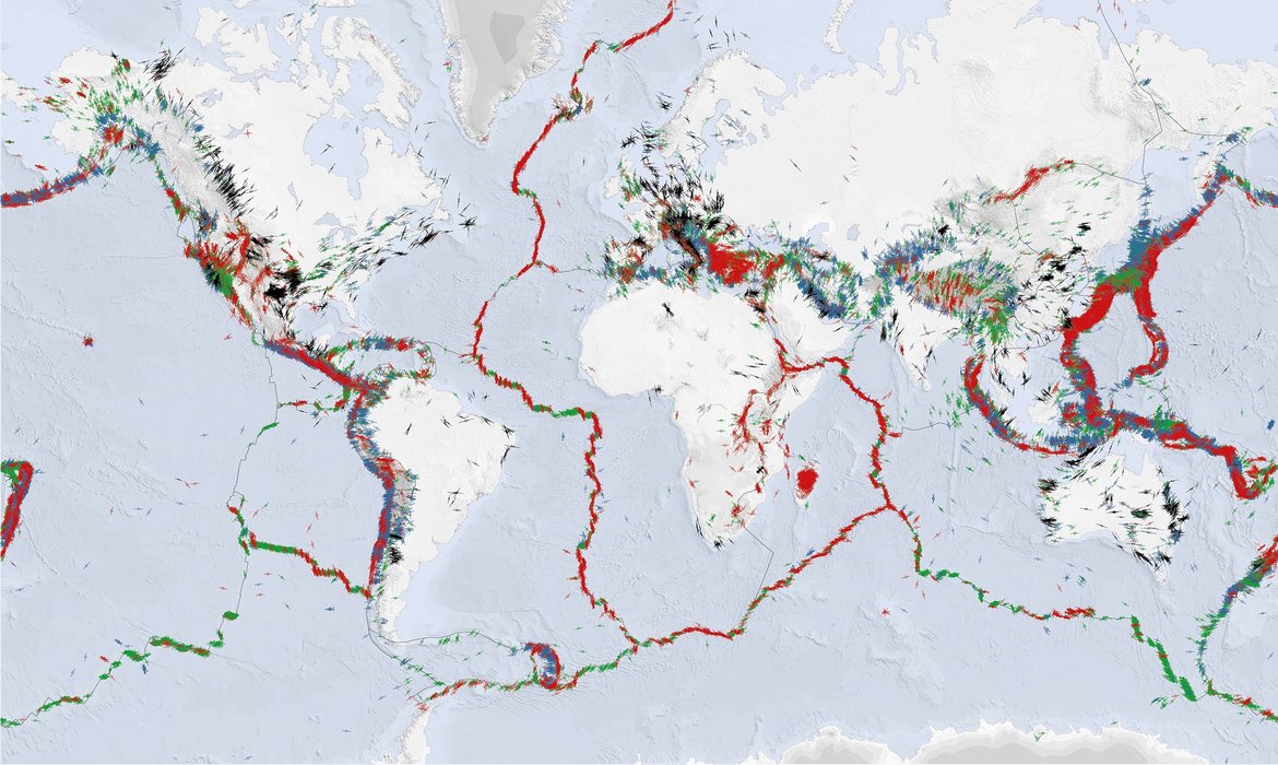
The USGS’s press announcement emphasizes the map’s potential to facilitate exploration of energy, mineral, and water resources, evaluate earthquake hazards, and guide land use, infrastructure, and community planning decisions. There are plans in place to broaden the tool’s scope to encompass Alaska, Hawaii, and U.S. territories. As researchers persist in uncovering new minerals and observing geological phenomena, the USGS’s mapping instruments will be vital in investigating Earth’s most urgent inquiries.